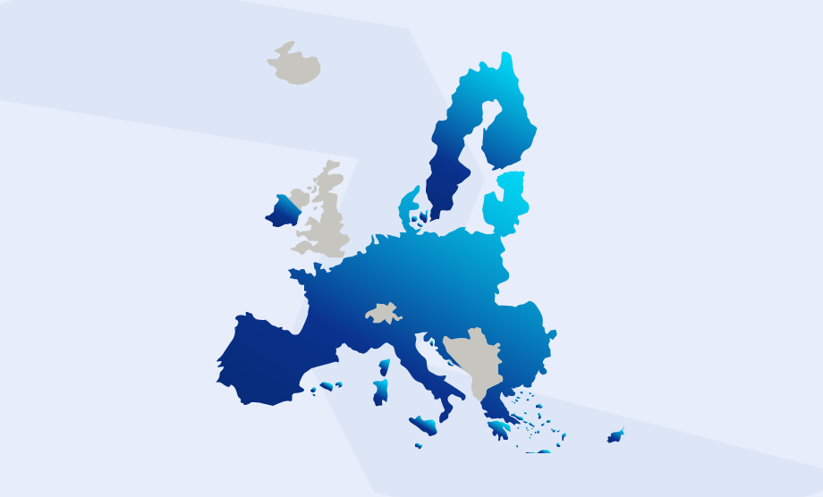
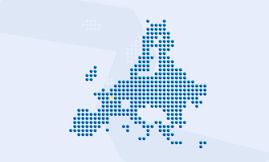
Try our tailor-made maps for statistical and geospatial analysis. It also gives you the opportunity to focus on single administrative units
Visualise the most recent statistical situation for different geographical levels by using maps and graphs to display indicators.
Veuillez prendre quelques minutes pour répondre à notre enquête anonyme.
Cette enquête nous aide à mieux comprendre comment vous évaluez nos données et nos produits.