
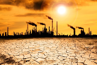
Developing state-of-the art technology to manage industrial pollution
Related topics
Environment & climate action Innovation SMEs Innovation in SMEs France Germany Hungary Italy Netherlands Romania Sweden Environment Norwaydate: 12/03/2014
Project: Soil contamination: advanced integrated ...
acronym: SOILCAM
See also: CORDIS
Contact: www.soilcam.eu
Different pollutants have different properties, resulting in varying types of behaviour and dispersal. Oil will behave very differently to a chemical cleaning agent, for example. But that is only the start. Each pollutant comes into contact with a wide range of site-specific physical, chemical and biological conditions – any or all of which can have a major impact on how the pollutant spreads, degrades or persists. For the site manager, the result is a multi-dimensional, interactive puzzle of complexity.
The European Union (EU)-funded SOILCAM project provided much-needed tools and techniques to allow site managers to make a key advance in the battle for more effective pollution monitoring, control and remediation.
Until now, contamination monitoring options have largely been limited to taking soil samples directly from various points on a polluted site. By its nature, this gives only a partial picture which is completely dependent on the sample points chosen. Because the complex nature of soil and its mechanical, biological, geological and chemical properties mean that the routes by which contaminants spread can be almost impossible to predict, this approach runs a high risk that managers could miss the main contaminant flows altogether. The challenge for SOILCAM team was to devise cost-effective methods to give a far more comprehensive and reliable view of a polluted site. This work was particularly relevant to Europe because it has a predominance of the sandy soil types which are most vulnerable to the spread of contaminants.
“The innovative aspect of our project was to employ an interdisciplinary approach to solve the challenge of monitoring contaminant transport in the sub-surface,” says SOILCAM’s Project Coordinator, Dr Helen French of Bioforsk, the Norwegian Institute for Agricultural and Environmental Research. “The complex puzzle describing the interactions between soil physical, geochemical and biological processes requires pieces from each discipline to fit together to complete the picture,” adds Dr French.
At the heart of the SOILCAM project were two field sites in Europe suffering from different pollution problems. The first was at Trecate in northern Italy, the site of an inland crude oil spill following an oil well blow-out in 1994, resulting in extensive contamination of both soil and groundwater. The second site was at Oslo airport, where large-scale use of de-icing chemicals had led to significant run off of those chemicals into the surrounding area, including the Gardermoen aquifer.
The key for SOILCAM team lay in combining advanced conventional soil monitoring techniques with pioneering ‘geophysical’ methods to analyse sub-surface phenomena. These included the use of radar in the form of Ground Penetrating Radar (GPR) and the measurement of electrical conductivity of the ground using a technology known as Electrical Resistivity Tomography (ERT). By applying time-lapse methods to these techniques, exactly as in time-lapse photography, the SOILCAM team could detect change patterns over any given period of time.
“While the geophysical techniques were valuable in providing an ‘initial screening’ of the soil and geological features, and tracking any changes,” says Dr French, “conventional measurements remained important to determine the precise nature and scale of what was happening.” The data could then be built into complex models which are expected to help predict how individual situations are likely to develop and how they might be influenced by specific local variables such as snowmelt or rainfall patterns.
At both the Oslo airport and Trecate sites, these methods provided valuable new insights into the actions of the different contaminants, helping indicate the most effective management methods and also providing valuable ‘early warning’ systems that could indicate when and where contaminants were likely to enter the groundwater.
As Dr French sums it up: “Integrating geophysical methods, soil and water sampling, experimental work and modelling provides a much more complete description of the contaminant situation than any of the single disciplines can provide on their own. Current advice on mapping contaminated sites is often limited to taking point samples and statistical evaluation. The SOILCAM project documents a significantly improved approach.”