
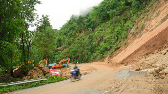
Satellite imaging allows landslide prediction and preparation
date: 13/06/2016
Project: LAndslide Modelling and tools for vulner...
acronym: LAMPRE
See also: CORDIS
The tools developed by the LAMPRE project use high- and very high-resolution optical images collected by satellites and have been proven accurate in practical studies around the world. LAMPRE has also tested new methods to simulate the impact of tens of thousands of landslides on road networks in hilly or mountainous areas.