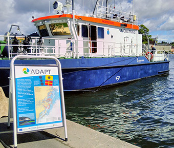
The ADAPT project is improving the efficiency and safety of ferry routes in the seas used to service the Swedish capital of Stockholm and the Finnish Åland islands. The changes aim to reduce the environmental impact of maritime transport in this busy cross-border region of the Baltic sea.
- 22 March 2019
The focus of ADAPT is to analyse the data gathered in the hydrographical surveys and propose updated routes to achieve safety-, time- and environmental benefits. The environmental gains focus on reduced fuel use and emissions, but can also include factors such as reduced backwash along sensitive shorelines.
In their efforts to improve the transport of both people and goods, the ADAPT team carried out hydrographical surveys of the sea floor. The data is used to plot new routes for ferries that are safer, shorter and have less impact on the environment. Sea charts of some of the smaller waterways have not been updated in years, so knowledge of where new, shorter routes could be introduced has proved particularly valuable.
Various environmental and logistical factors are being considered when optimising journeys and altering routes. Changes introduced through the project aim to improve traffic flows while taking account difficult conditions such as ice and fog and low water levels in the narrow channels of these archipelagos.
Practical changes
In the Stockholm area, the archipelago is divided into about 30 timetable areas. A vessel travelling through the archipelago often traverses several of these areas and connects with other modes of public transportation at several points along the way. ADAPT worked from the updated navigational charts to simplify some of these routes and journeys. The project devised a toolbox to calculate the cost effectiveness of any changes, and the impact on travel times and the environment. For example, one new route in the Stockholm area has been mapped that better shelters ferries from bad weather. The new route is 20 % shorter than the original and is expected to deliver reductions of CO2 emissions of around 6.9 kg/per journey.
Meanwhile, in Åland, a more sustainable intermodal transport system is being introduced in the south-eastern part of the archipelago. This is being achieved by shortening ferry routes – in general decreasing travel times to less than 60 minutes – and by increased integration with land-based transport. The reduction in total travel time is estimated to be more than 10 % when new routes become operational. The fuel consumption of ships using the new routes is being evaluated, but the shortened journey times are expected to deliver an environmental dividend through a long-term reduction in emissions.
High-tech solutions
Updating the sea charts was a huge undertaking. The project used a modern, multi-beam laser to scan about 340 km2 of seabed. The main beneficiaries of the project will be local commuters and businesses who need regular access to the islands for work and to transport goods. Leisure boaters will also benefit from the updated charts.
Total investment and EU funding
Total investment for the project “ADAPT” is EUR 2 045 182, with the EU’s European Regional Development Fund contributing EUR 1 636 074 through the “Interreg Central Baltic” Operational Programme for the 2014-2020 programming period. The investment falls under the priority “Transport and energy networks”.