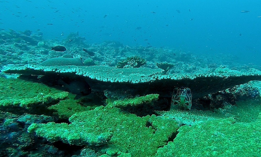
Uncovering the mysteries of the deep
- 29 Oct 2021

Reliable and up-to-date information on the state of marine resources is essential to support sound management decisions for the protection of ecologically important areas. However, conventional fish-capture techniques are extremely invasive in the ecosystem they are monitoring as the capture of many non-targeted organisms can be unacceptably high. Thus, there is an urgent need to develop accurate and non-invasive methods for mapping marine ecosystems to determine their condition, extent and location. Both the EUSAIR Action Plan and the BLUEMED Strategic Research and Innovation Agenda highlight the urgency for such an initiative.
Within this context, the adoption of unmanned underwater vehicles (UUVs) equipped with sensors to monitor physical, chemical and biological features may compensate for current deficiencies in marine data.
UUV technology has evolved over the last few years, from simple demonstrators developed by research institutes to commercial products. The emergence of applications in ecosystem monitoring is due to the ability of UUVs to carry out surveys without interfering with the seabed and at lower costs than those incurred when using oceanographic vessels.
Under the Interreg Italy-Croatia 2014-2020 Programme, the SUSHIDROP project has developed and equipped with advanced instrumentation a customised UUV known as ‘Blucy’. Its aim is to implement a non-invasive approach to assessing the environmental status of marine habitats, the population of fish stocks and, in general, to monitor the biodiversity.
In addition, a dedicated open-access database system is currently being built to maintain and share the scientific data acquired by Blucy during scientific missions conducted in both Croatian and Italian waters. The project’s final objective is to combine the georeferenced information gathered by the UUVs with that related to the spatial extent and patchiness of fishing pressures to better understand the habitats’ sensitivity to such pressures and to design and implement more effective marine management plans.
FIND OUT MORE
https://www.italy-croatia.eu/web/sushidrop
Facebook: @SushiDropItalyCroatia Instagram: sushi.drop.project LinkedIn: SUSHI DROP Project - Interreg Italy Croatia Twitter: Sushi drop project @sushidropproje1
YouTube: https://www.youtube.com/channel/UC5E0Zi03omkWs4mo3B3G-CA Contact: Luca De Marchi, University of Bologna: l.demarchi@unibo.it


