
A new cutting-edge global reference layer on human settlements
date: 06/11/2020
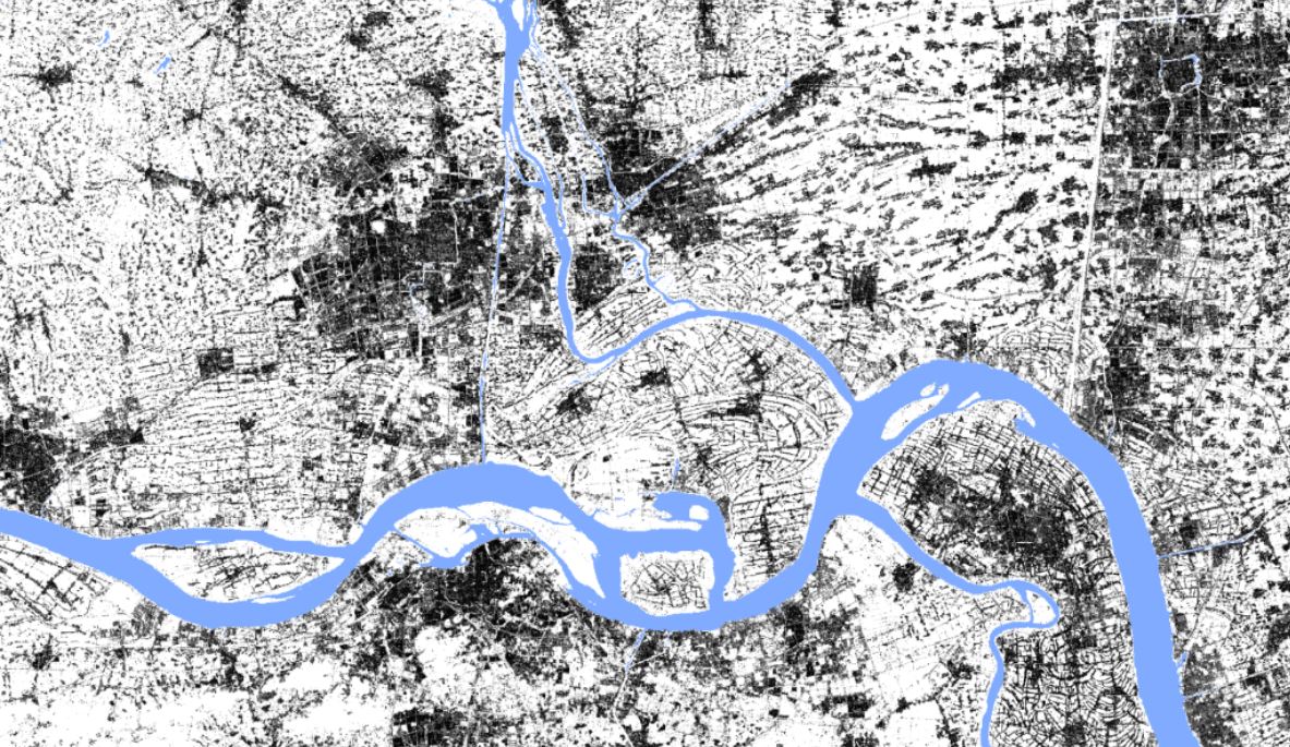
Detailed built-up maps are essential for modelling population distribution, human exposure to natural hazards or for assessing urban heat islands. Knowing the contemporary shape and structure of human settlements has important implications for the Sustainable Development Goals targets. While great advances have been made in mapping urban areas, large gaps still exist for rural and isolated dwellings, which tend to be the most vulnerable to environmental, economic, and socio-political change.
The Global Human Settlement Layer is releasing a new, free and open global built-up grid from Sentinel-2 Copernicus data. It is the most exhaustive and detailed map of built-up areas at a spatial resolution of 10 meters. It shows humanity’s imprint as of 2018 in more detail and with greater accuracy than ever before. The key to the success of detecting human settlements is the use of Artificial Intelligence for the processing of global satellite data and the large computing capacities offered by JRC I3 Big Data Analytics project.
This dataset sets a path to a new wave of promising research to tackle unprecedented large-scale challenges in urban and rural related related applications.
For more information, please visit the GHSL website or refer to the peer reviewed article.