Illegal agricultural burning diminishes in Ireland

date: 11/02/2021
permalink: Main URL
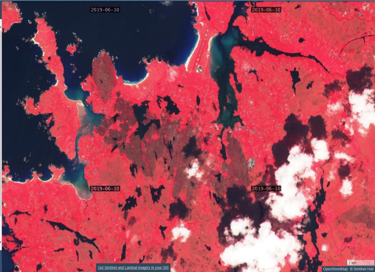
The Fire Improvement Plan of Coillte, the Irish State Forestry Board, continued over the year and included improved equipment, training and procedures. European projects like European Innovation Projects (EIP) and LIFE located in main fire risk mountain areas in Wicklow, Kerry, Inishowen, Blackstairs and Hen Harrier delivered fire management modules and hosted events to increase the awareness of fire risks to landowners and improve land management activities.
According to the 20th edition of the European Commission's Annual Report on Forest Fires in Europe, the Middle East and North Africa, 2019 was possibly the worst-ever year for forest fires around the world. Over 400,000 hectares of Europe’s natural land burned and many protected areas were affected by wildfires. The JRC's Copernicus Rapid Mapping Service was activated 35 times to help countries respond to wildfires, the most activations in any single year. The JRC runs the European Forest Fires Information System (EFFIS) under Copernicus, the EU’s earth observation program.
