
The JRC helped Irish authorities to manage floods in Clare, Galway and Cork Counties
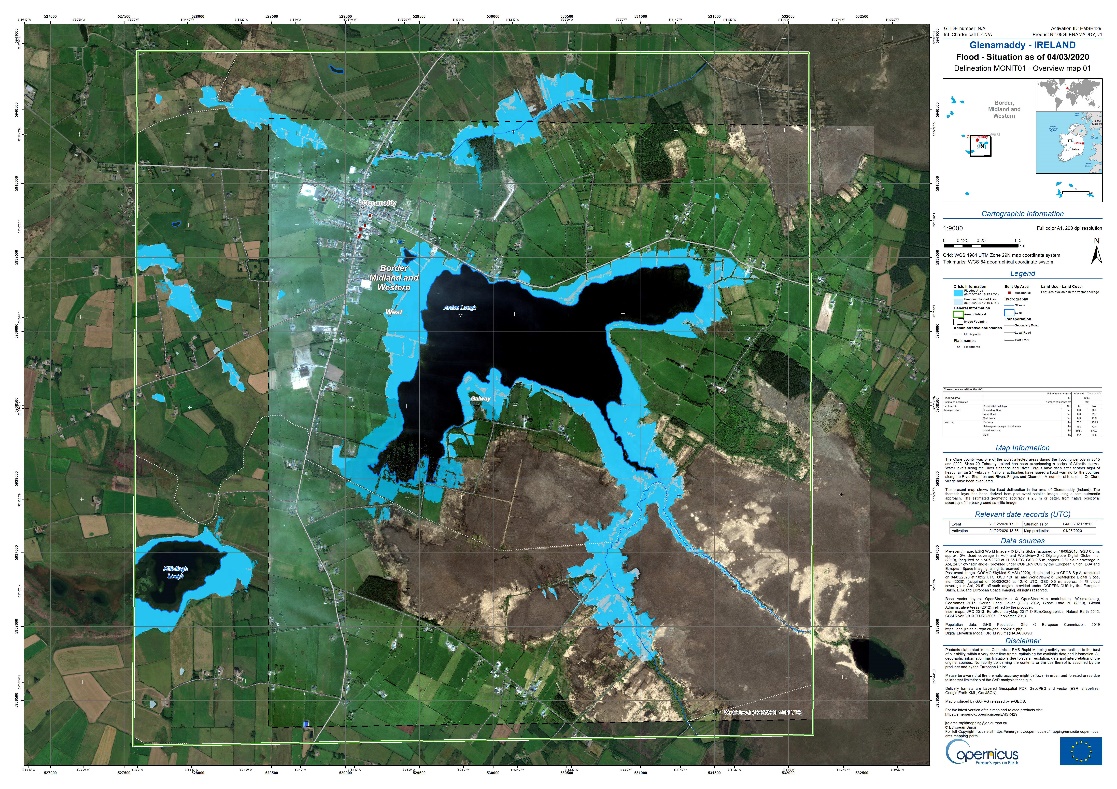
In total 14 flood maps over 9 areas were published over a period of 10 days, providing detailed information on the extent and the grading of the flood event impacts. CEMS was also activated in September when heavy rainfall overnight caused severe flooding in Clifden and in part of County Galway, and in Cork city centre following high tide in October, when around 100 buildings and dozens of parked cars have been damaged by flooding.
CEMS is one of the six core services of the EU’s Earth observation programme Copernicus. It provides geo-information and on-demand mapping services derived mostly from satellite images to support actors involved in disaster management. The JRC is responsible for CEMS and implements a part of it in collaboration with European industry and academia.