
Copernicus EMS Rapid Mapping monitors flood events in several Southern counties of Ireland
date: 12/08/2021
permalink: Main URL
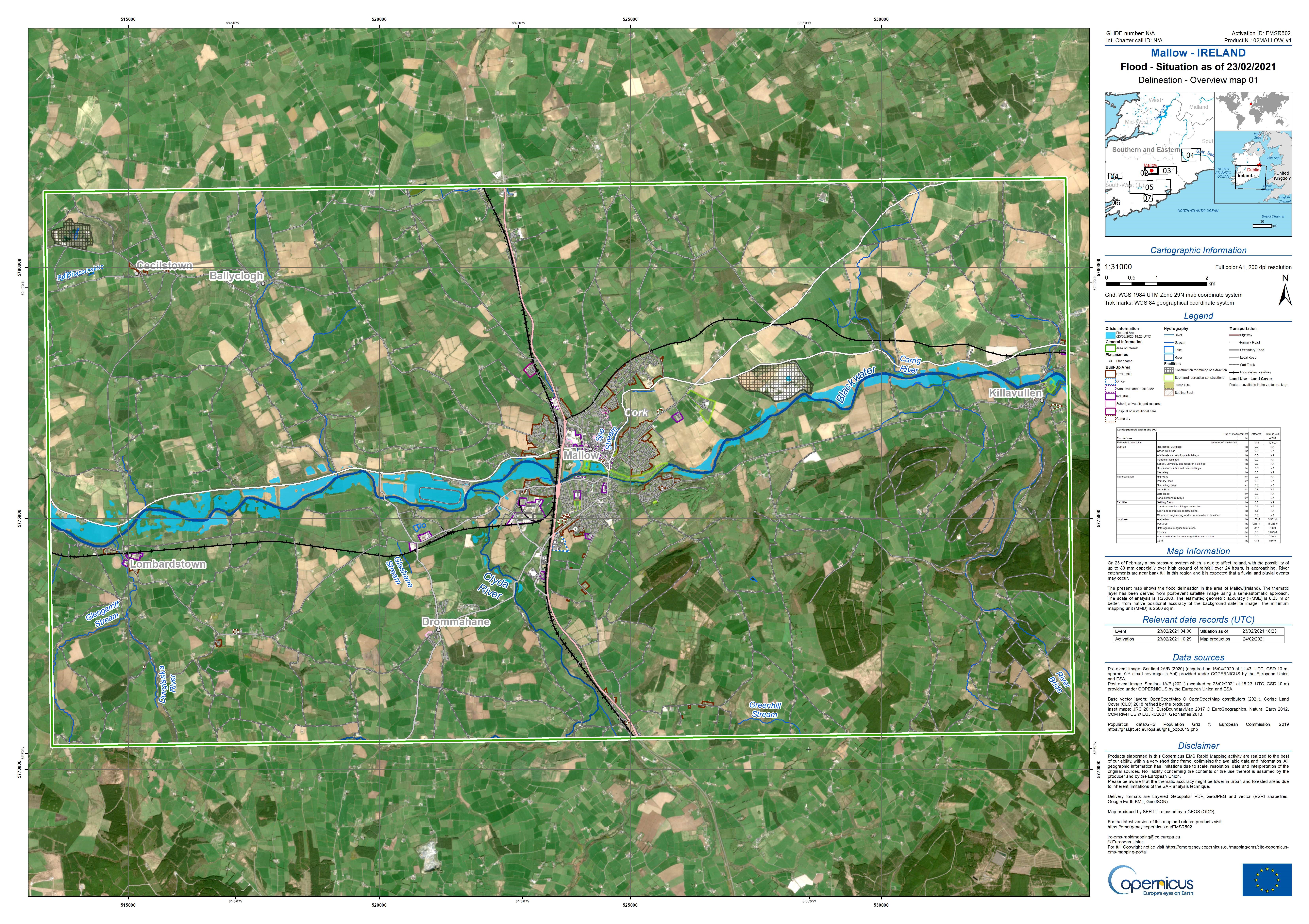
The areas affected, which include Mallow, Killarney, Cork, Fermoy and Clonmel, were monitored between 23 and 25 May. In total 11 flood maps were produced and delivered.
Over 2020, Irish authorities activated CEMS three times to ask for support in managing crisis situations related to natural disasters. CEMS is one of the six core services of the European Union’s Earth observation programme Copernicus. It provides geoinformation which is derived mostly from satellite images to support actors involved in disaster management. The JRC is responsible for CEMS and implementing a part of it through service contracts with European industry and academia.
The information was extracted from the satellite images, in this case specifically the extent of the event impacts, and is also provided in digital format which allows the user to do further analysis and integration with other datasets in Geographic Information Systems.