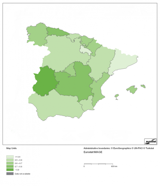
File:Composite indicator of the risk of farmland abandonment based on drivers D1, D2, D3, D4 and D7, normalised for Spain, 2006 - 2008.png

Size of this preview: 517 × 599 pixels. Other resolutions: 207 × 240 pixels | 1,035 × 1,199 pixels.
Original file (1,035 × 1,199 pixels, file size: 196 KB, MIME type: image/png)
Composite indicator of the risk of farmland abandonment based on drivers D1, D2, D3, D4 and D7, normalised for Spain, 2006 - 2008.
Map created with data from 2006-2008.
Data extracted in March 2013. Source:
DG AGRI - FADN database
EUROSTAT - FSS
EuroRegionalMap 2.2 (EuroGeographics)
Urban morphological zones 2000 (EEA)
Urban Audit 2007 (DG Regio)
SRTM mosaic Europe (JRC)
CORINE Land Cover 2006 (EEA)
File usage
The following file is a duplicate of this file (more details):
The following page uses this file: