File:Area of the LAUs covered by the maritime service area of the port of Trieste.PNG
No higher resolution available.
Area_of_the_LAUs_covered_by_the_maritime_service_area_of_the_port_of_Trieste.PNG (389 × 292 pixels, file size: 107 KB, MIME type: image/png)
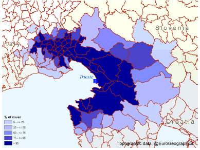
Area of the LAUs covered by the maritime service area of the port of Trieste
Map created with data from March 2011
File usage
The following page uses this file: