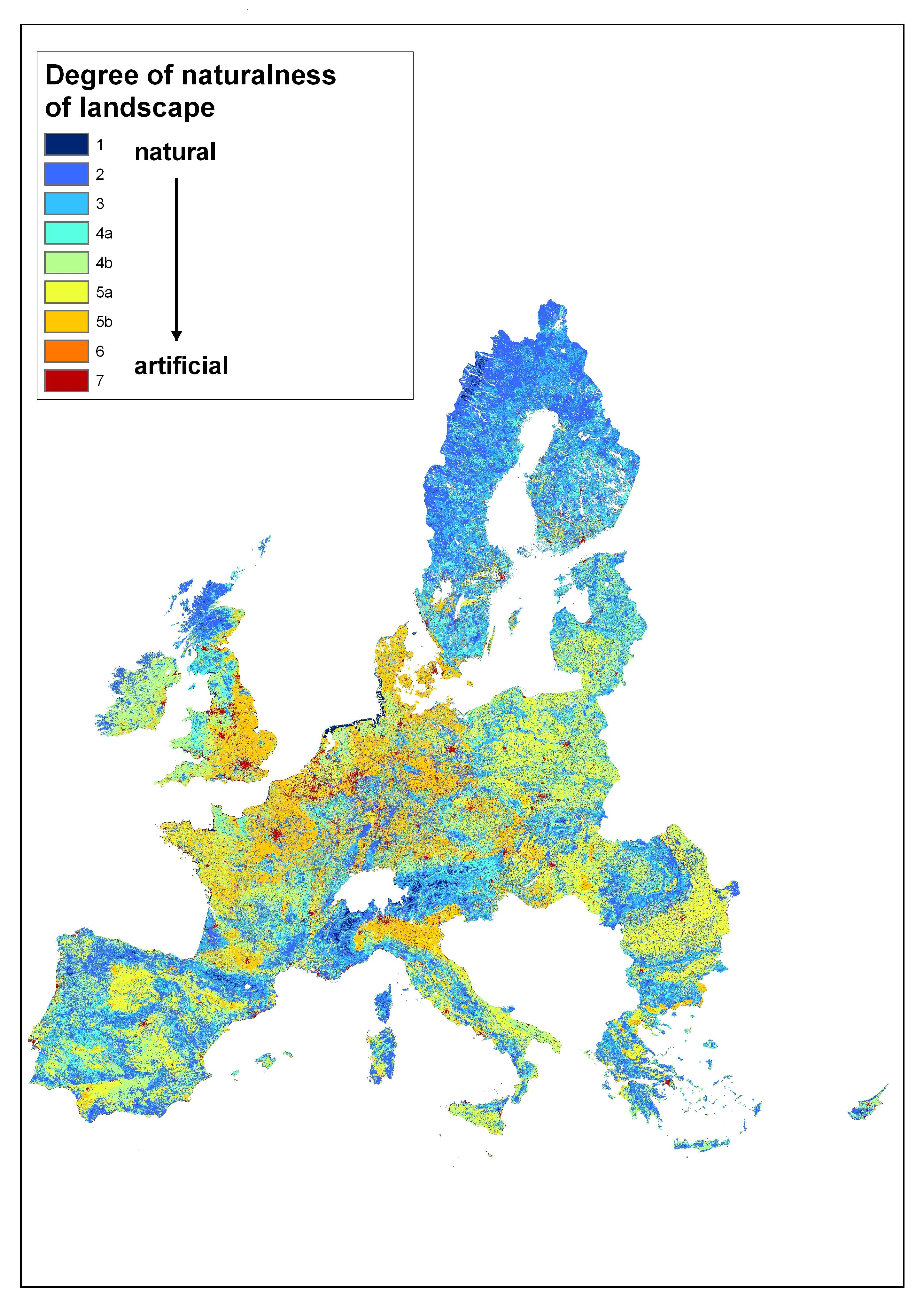
File:Degree of hemeroby of the overall landscape, EU 27.png
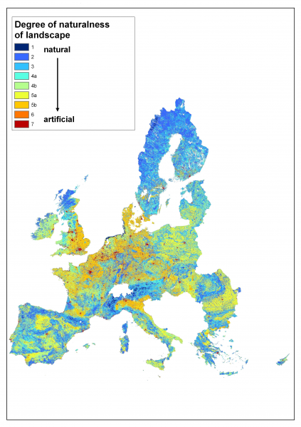
Size of this preview: 423 × 599 pixels. Other resolutions: 169 × 240 pixels | 2,891 × 4,094 pixels.
Original file (2,891 × 4,094 pixels, file size: 7.77 MB, MIME type: image/png)
Degree of Hemeroby of the overall landscape, EU 27
Map created with data from 1996 - 2005
Source: Joint Research Centre, European Commission
File usage
The following page uses this file: