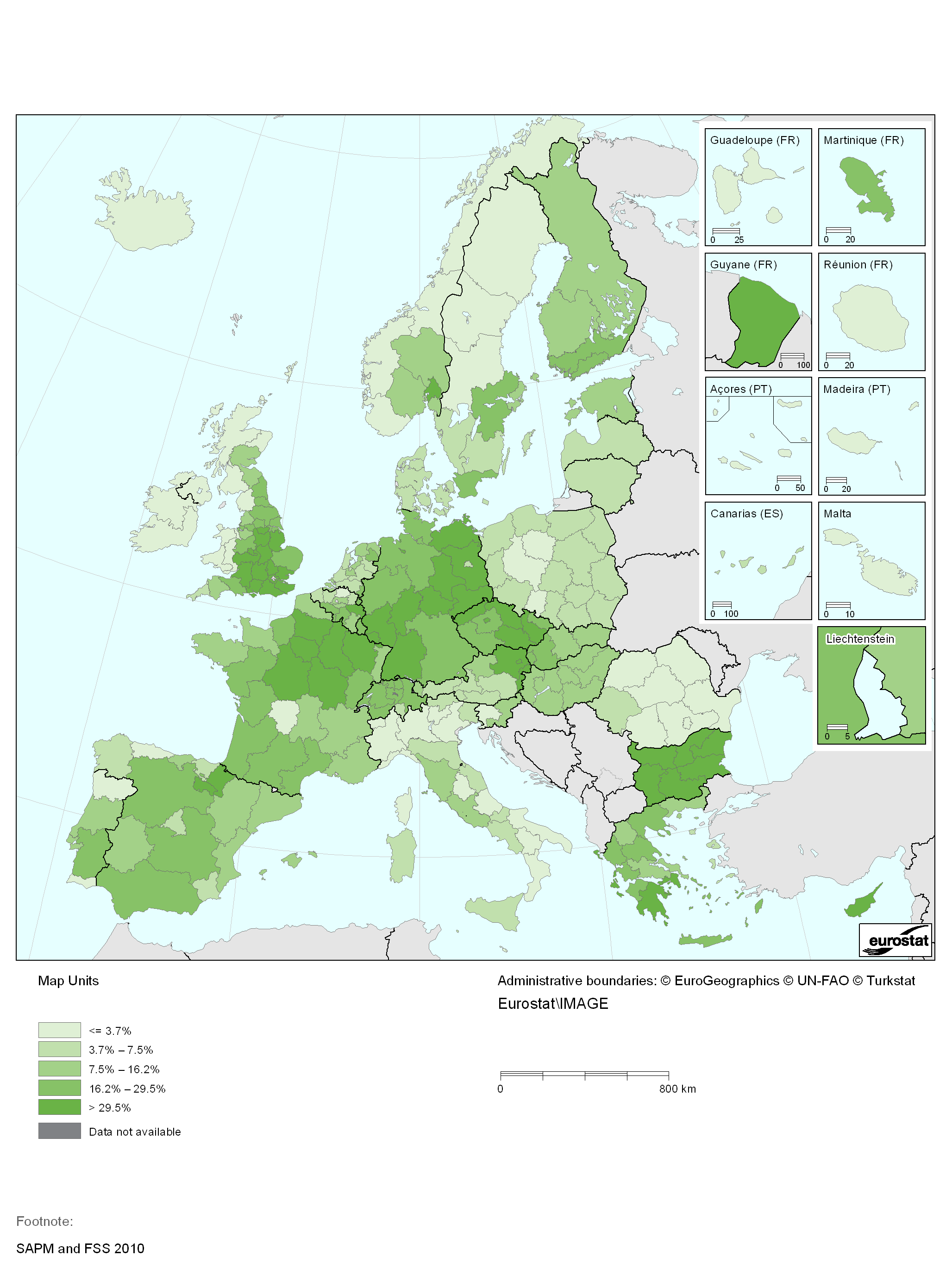
File:Share of arable land on which conservation tillage is applied, EU-27, IS, NO, CH, ME and HR, 2010, NUTS2 English.png
Size of this preview: 450 × 600 pixels. Other resolutions: 180 × 240 pixels | 2,056 × 2,740 pixels.
Original file (2,056 × 2,740 pixels, file size: 234 KB, MIME type: image/png)
Map created with data from 2010
Data extracted at 24-06-2013 from FSS and SAPM 2013
File usage
There are no pages that use this file.